From a question to something visible
Cangshan Guardians Box: What do people entering the mountains need?
Leave a location when lost, contact companions, look for clues to recognize the birds and plants in front of you, and also express your anxiety. Positioning and external communication require separate verification when messages are received. The prototype is exploring these directions, no promise is made that messages will be delivered or rescue guaranteed when there is no signal.
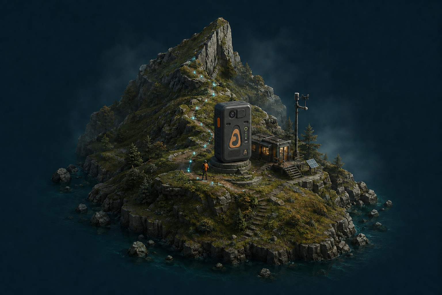
The image shows a concept design. Offline knowledge, voice, vision, and communication capabilities are subject to actual device testing.
Project Avis: Recognize the birds around you, then let others recognize them
Listen to birds, take photos, and keep track of observation time and location; AI proposes candidates, and humans verify. When sharing publicly, precise locations of sensitive species should be handled separately.
Rotated segment of the bird model in AI-Whiteboard. Sides not shown in a single photo are inferred and completed by the model, suitable for display, but cannot replace physical structural measurements as evidence.Original TripoSplat project · Project Avis。
Silver-Haired Future: Who is the Recorded Space For?
First listen to what the elders need, then decide whether and how to record familiar spaces. Mobile videos can connect multiple perspectives; size, completeness, and usage still need to be verified against the physical object.
This screen recording shows the spatial reconstruction results from the mobile video. The demonstration uses Viser to view the results, which does not imply real-time inference during filming.LingBot-Map And ABot-Recon are two different paths. The space estimated by the model is not equivalent to independently calibrated survey data, nor does it prove autonomous navigation capability here.
Design a webpage you can walk into
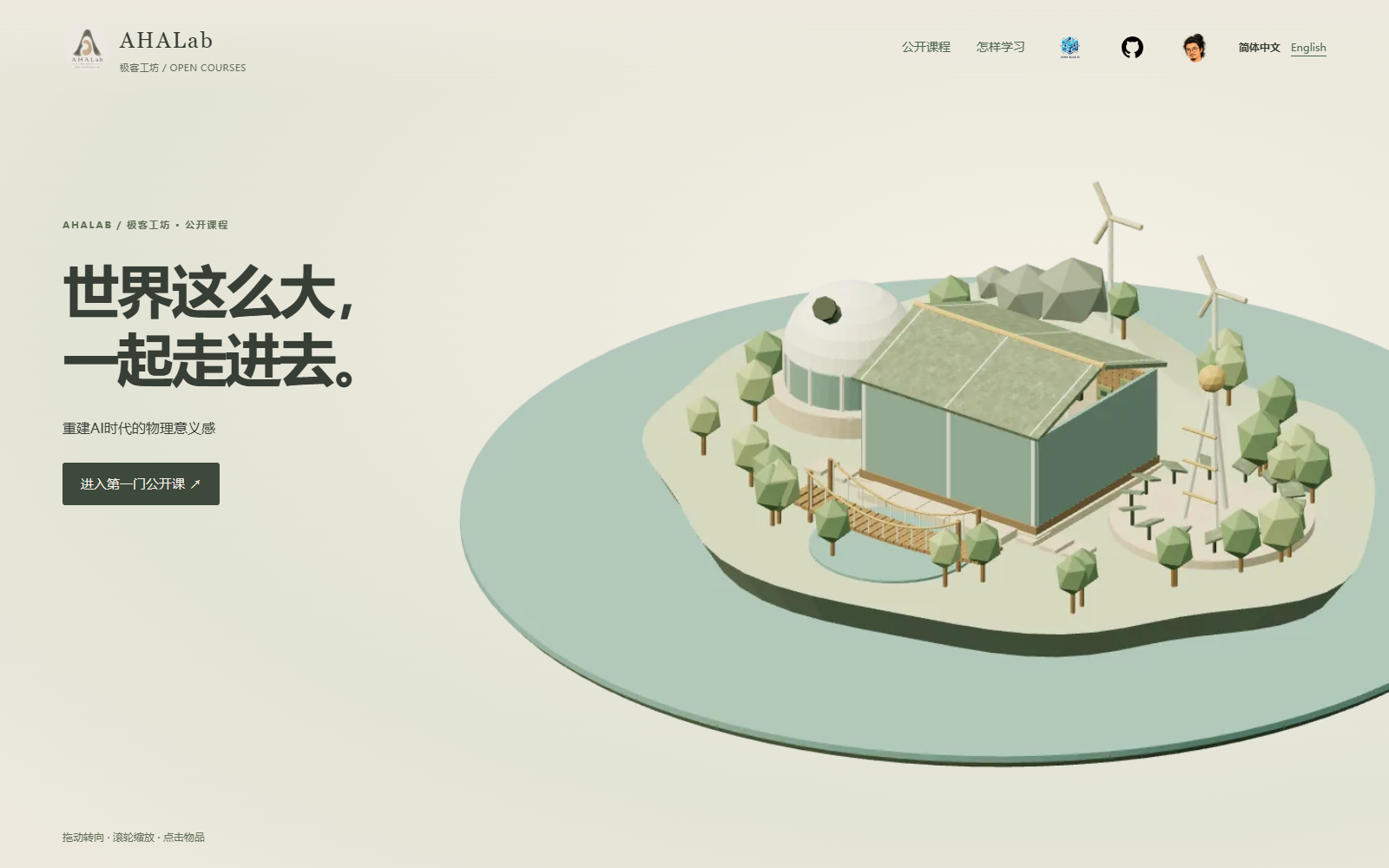
Use Blender and bpy to specify shapes, dimensions, positions, and materials, export to GLB, and then use web 3D tools to enable roaming and clicking.Blender Python Interface · Enter AHALab。
Spin the holographic flashcards ↗Layer characters, backgrounds, text, and reflections; this is screen parallax and laser material simulation. Based on RuiC-card-skill, retain the MIT declaration.
Digital Dali: Where Rain Falls Matters
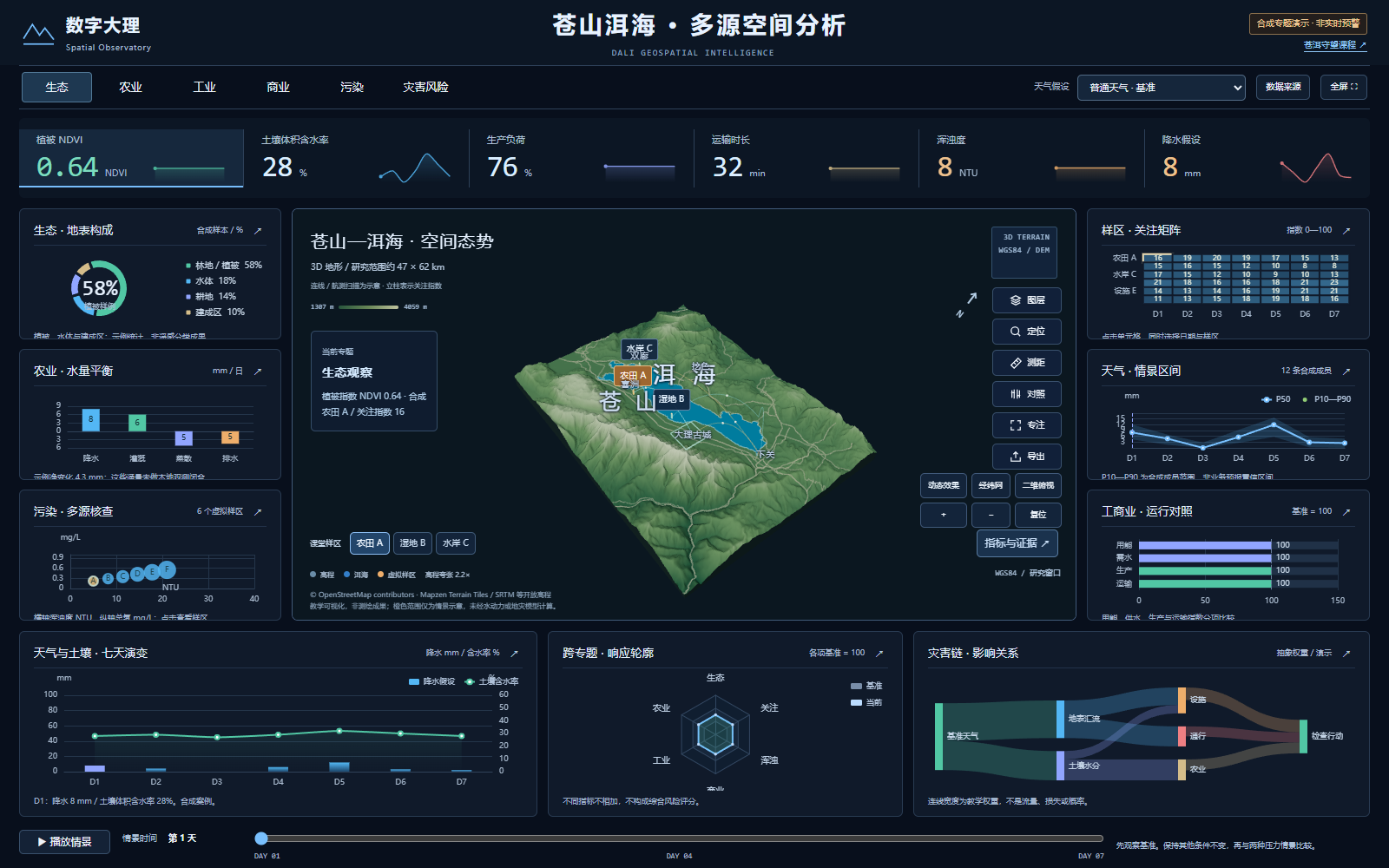
Cangshan, the dam area, Erhai Lake, roads, farmland, and living spaces—all exist within the same space. To understand the impact of a rain shower, you need to consider terrain, drainage, and usage simultaneously.
Digital Dali is an independent tool for exploration; Cang-Er Watch is a course designed around these questions. We can use the interface to ask: where would you choose to observe continuously? What data needs to be verified? Whose lives might be affected?
Terrain display uses elevation data from Mapzen Terrain Tiles and shoreline and road data from OpenStreetMap. The grid is sampled, and the elevations are exaggerated; the thematic values are for educational scenarios and cannot be used to calculate actual flood extents, debris flow probability, or site safety.
© OpenStreetMap contributors · Geographic Data and Attribution · Elevation Data · Cang'er Watch Course